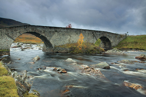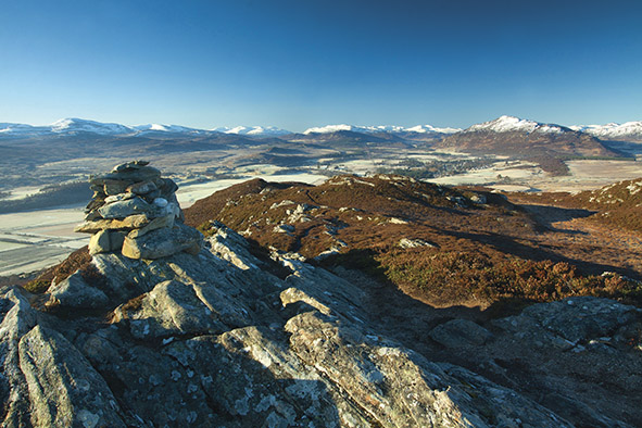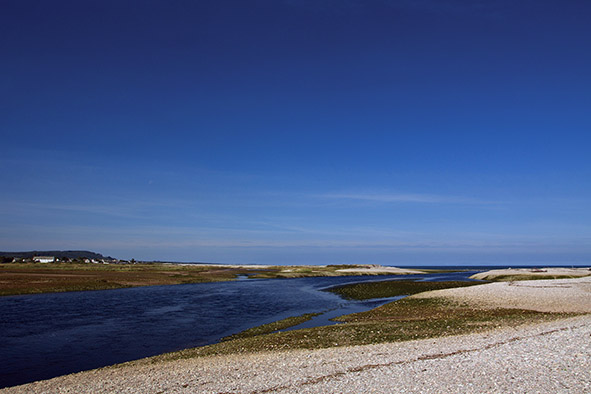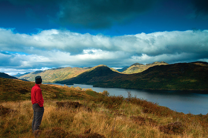
To see a selection of this month’s ‘Focus On’ images please click here
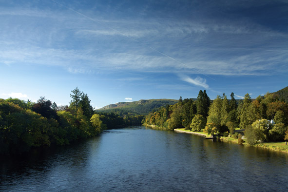
At 96 miles in length the River Tweed is the fourth longest river in Scotland – a portion of its journey also crosses the border into England.
It is this close proximity between the two countries that has bestowed the River Tweed with much of its intriguing history but it was a double-edged sword; trade links were strong but Edward I of England looked longingly at Scotland.
He arrived with devastating effect in 1296, leaving a litany of destruction in his wake. Major battles, like those at Flodden and Philipshaugh, and the Border reiving of the 16th century, led to a succession of government proclaiming that the Borders was becoming as problematic as the Highlands.
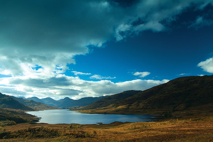
However on the flip side the gorgeous rural countryside that the River Tweed travels through means the scenery, wildlife and sense of tranquillity is on a par with the celebrated Scottish Highlands, which the lowland landscape of the Scottish Borders has always been unfairly judged as a poor relation.
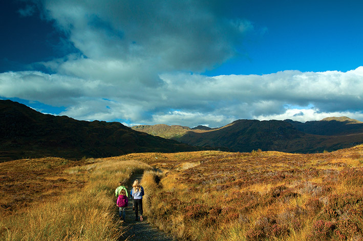
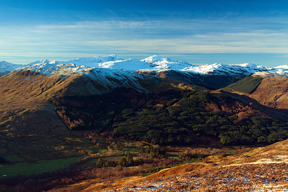
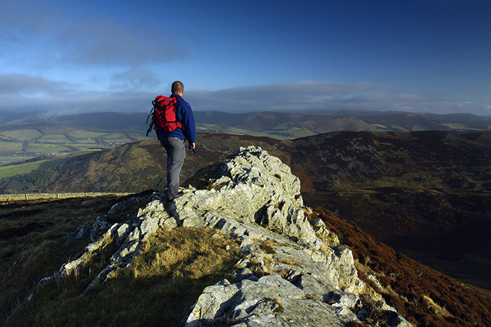
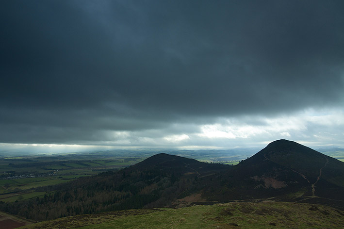
The term ‘lowlands’ is essentially a misnomer as the Border country has an abundance of high ground granting some superb walking, panoramas and wildlife. The stunning Glensax Horseshoe and the iconic Eildon Hills are two such examples.
The Eildons, above Melrose, were home to a community of around 2000 people for many years. The Romans too were attracted to their shapely outline and when Julius Agricola led his army across the border in AD79 they paused near Melrose at Newstead (reputedly the oldest inhabited village in Scotland) and ended up staying for the next 150 years, setting up their fort of Trimontium at the base of the Eildons.
The derivation of the name Tweed is vague but possibly stems from the Brythonic tau or teu, which mean strong, silent or flowing, unquestionably three words that could be applied to this amazing river.
It rises amongst the untamed moorland backdrop of Tweed’s Well, near to the Scottish Borders and Dumfries and Galloway border. It is a lonely setting and a number of little burns trickle down from the surrounding hills to join the infant but ever burgeoning Tweed as it travels north and then east.
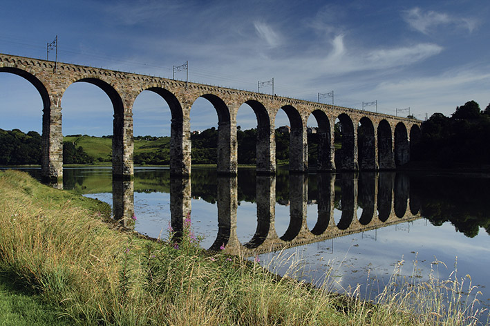
Several significant rivers, such as the Teviot, Ettrick, Yarrow and Lyne, then flow into the River Tweed, eventually entering the North Sea at the magnificent walled town of Berwick-upon-Tweed.
En route the Tweed runs through bustling and historic towns and villages such as Peebles, Melrose, Dryburgh, Gala and Kelso and through a landscape that has been lived on and exploited for several millennia.
This exploitation reached its peak during the Industrial Revolution when the River Tweed provided the source to a remarkable economic expansion along its banks.
Although the Borders were far removed from the heavy industry of Central Scotland, the textile industry proved to be an unqualified success, employing thousands of people and putting many of the towns along or near to the Tweed, such as Peebles, Galashiels, Innerleithen, and Selkirk, on the map.
Over the centuries writers and painters like Sir Walter Scott, James Hogg and JMW Turner all depicted the River Tweed in a favourable light, drawing tourists into Scotland’s southeast corner and this continues to the present day.
Today, like much of rural Scotland the Scottish Borders has used the landscape to boost its economy and create jobs. Fishing plays an integral role (the Tweed is one of Scotland’s great salmon rivers) while activities such as cycling and walking have made the region a major draw for outdoor enthusiasts.